Mapping
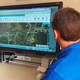
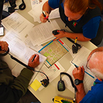
Maps provide the IMT with the critical information that allows the Planning Officer to prepare a solid strategy and the Operations Officer to organize effective tactics. Each change in fire ground conditions requires updated maps. One mapping system we use is IntraMaps™ maintained by the Shire of Mundaring.
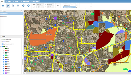
With IntraMaps™ we can build maps with layers which might include:
- tracks, roads, & highways
- access points & emergency access easements
- high risk properties
- HAZMAT (hazardous materials) sites
- phone/high power towers
- wetlands
- critical infrastructure
- & day care centres
among other features
We also have access to FESMaps™ (a DFES resource) to give us more information and mapping features, like previous burn information for the area of a fire to get an idea of fuel loads.
Training
Do you have the ability to work under fast-moving conditions and stay cool?
You'll have to take two weekend courses on bush fire behavior and fire-fighting techniques at the Mundaring Firefighters’ School and attend 5 hours of training per/month.
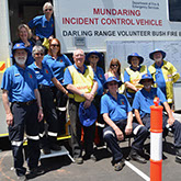
 During fire season you have to be available to join your 5-person team on a day- or night-shift call-out every 4th week.
Eventually, you will be trained in radio communications and mapping, but you'll be mentored by long-service team members from the very first day.
JOIN Us ?
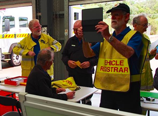
To join us you must
- be 18+ years of age
- have a Smart phone (that’s how we get called out and get messaging—see BART)
- be computer-friendly (training will be provided on specific tasks)
- have transport—to Mundaring Industrial Centre (where we park the ICV—our 'office on wheels')
- get police clearance through us (everyone in every brigade must be cleared)
—In urgent situations, do you react with ’grace under pressure’
. . . we want you!
 Radio Comms
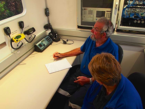
Well over 100 years ago the Russian Navy established the first reliable two-way wireless telegraphy between the Finnish mainland and Hogland Island in the Gulf of Finland. Despite all the technological advances since then, radios are still the best way to communicate on the fire ground. Without radios, we just couldn’t get the information we need to get the job done.
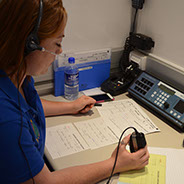
ICV personnel are trained in radio protocol and do all the messaging from the firies to the IMT & DFES communications centre and back again.
 IMT Support
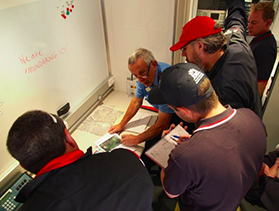
Our Darling Range brigade also provides support for the team of seasoned, senior firefighters, both volunteer and career firefighters, who plan the strategy and logistics needed to fight the fire.
The men and women who comprise the Incident Management Team make the tactical decisions that we relay to the firies. We act as their scribes and document all the actions taken to combat the fire. We also interface with the media, police, P&W, and anyone else who shows up.
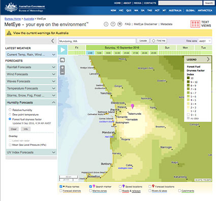
Another one of our jobs is to monitor developing weather systems that may affect the fire. For this we use the MetEye™ on the Bureau of Meteorology site which gives us weather details like current or predicted temperatures, wind speed, and wind direction.
 Tracking
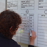
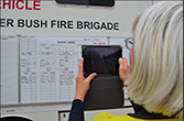
Perhaps the MOST important job we do is to keep track of everyone and everything on the fire ground—from the moment the firies arrive until they depart for home—we have to know who and what is where.
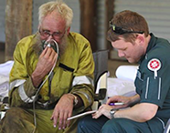 When crew strength hits a predetermined trigger point, we call St. John’s to set up a first aid post or call for an ambulance to stand by.
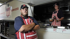
We also organise meals from our tally and send for the Salvo's . . . and sometimes we are asked to assist in organising relief crews for tired firies.

